Current instruments and monitoring options for sound velocity profiling, CTD, water levels, waves and water quality. We can help define the sensors, depth rating and communications arrangement for your project.
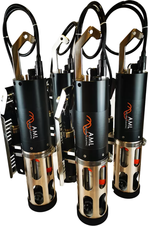
AML Oceanographic AML-3
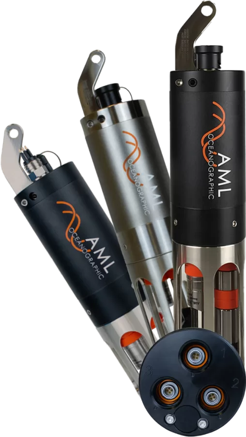
A modular three-port instrument for sound velocity profiling or CTD measurements with the appropriate sensors. The LGR version provides battery-powered data logging; RTS streams data using external power; XC combines both functions. Select the depth rating and sensor configuration to suit the project.
Datasheet (PDF)
Kordil OEM SVP1500
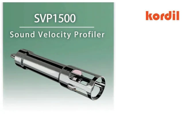
A sound velocity, depth and temperature profiler supporting autonomous logging and direct reading. Manufacturer specifications include ±0.05 m/s sound velocity accuracy, 1–30 Hz sampling and a 300 m maximum working depth. It includes a rechargeable battery, 16 GB memory and USB connectivity for hydrographic survey workflows.
Datasheet (PDF)
AML Oceanographic AML-6
A six-port multiparameter sonde combining CTD data with measurements such as dissolved oxygen, pH, ORP or fluorescence, depending on the sensors installed. LGR, RTS and XC configurations address different logging and telemetry needs. Optional UV biofouling control is available for suitable deployments.
Datasheet (PDF)
LinkQuest FlowQuest ADCP
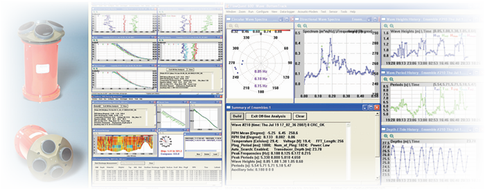
Measures current speed and direction profiles through the water column using acoustic Doppler technology. Suitable applications include coastal waters, harbours, lakes and rivers. The 300, 600 and 1000 kHz options are selected to suit profiling range, cell size and water depth. Specify the appropriate model and optional bottom tracking for fixed or vessel-mounted deployments.
Datasheet (PDF)
WaveQuest — directional wave measurement option
An optional directional wave measurement function for compatible FlowQuest current profilers. It provides wave height, period and direction, together with directional wave spectra. It is not a standalone buoy; instrument compatibility, deployment geometry and operating conditions must be checked for the project.
Kordil product page
Kordil Radar Gauge System
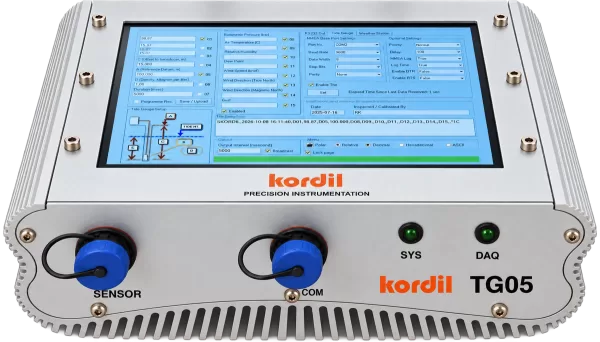
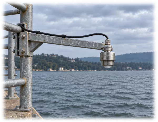
The Kordil TG05 radar tide gauge monitors water level by measuring the distance to the water surface without contact. It combines an 80 GHz FMCW radar sensor with the TG05 control and data logging unit for fixed monitoring stations in ports, coastal waters, rivers, lakes and reservoirs.
The installation elevation and reference datum must be defined to convert distance readings into water level elevations. The measurement path must remain clear, and unwanted reflections must be controlled.
Technical information and brochure · Request a quotation
Kordil Pressure Tide Gauge
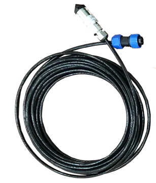
The Kordil pressure tide gauge uses a submerged hydrostatic sensor to monitor changes in water level. The TG05 control unit displays and records the measurements.
Installation requires a stable sensor position, a defined reference elevation and consideration of water density. Atmospheric pressure correction and venting arrangements depend on whether the sensor measures absolute or gauge pressure.
Technical information and brochure · Request a quotation
Obscape OBS-BUOY 7 WATT
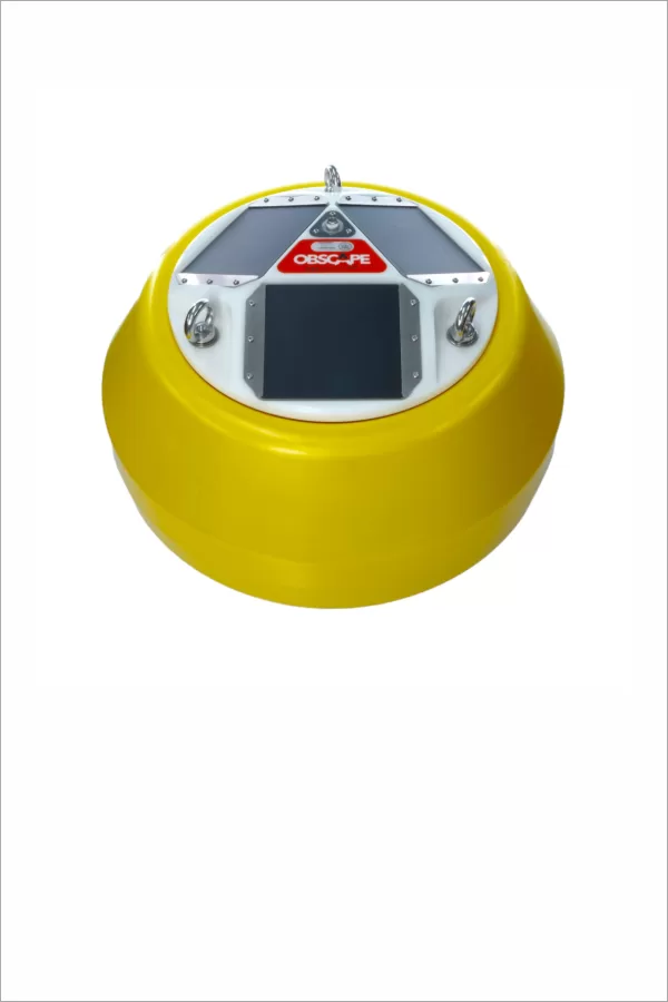
A solar-powered directional wave buoy. Motion sensors and an electronic compass provide wave parameters and directional wave spectra. Cellular and satellite telemetry support remote access through the Obscape Data Portal. Mooring, communications and maintenance requirements are defined for the deployment site.
Datasheet (PDF)
Obscape OBS-BUOY 400
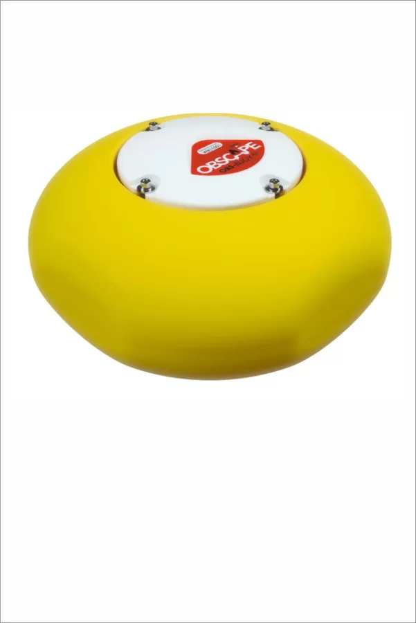
A compact, battery-powered directional wave buoy for sites with cellular coverage. Select the buoy platform together with the required mooring, water depth, expected wave conditions and communications arrangement.
Datasheet (PDF)
Obscape F12MP Time-Lapse Camera
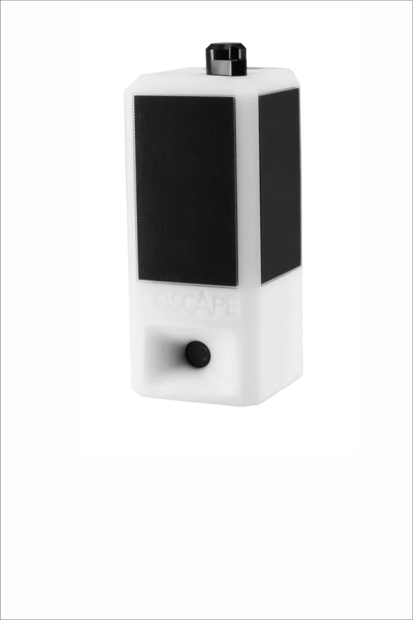
A fixed-view camera for long-term visual monitoring of beaches, harbours and construction sites. It provides 12.3 MP images, adjustable 10–60 minute capture intervals, solar power and cellular transfer. View the imagery through the Data Portal; this is a time-lapse system rather than a continuous live-stream camera.
Datasheet (PDF)
Obscape Water Quality Station
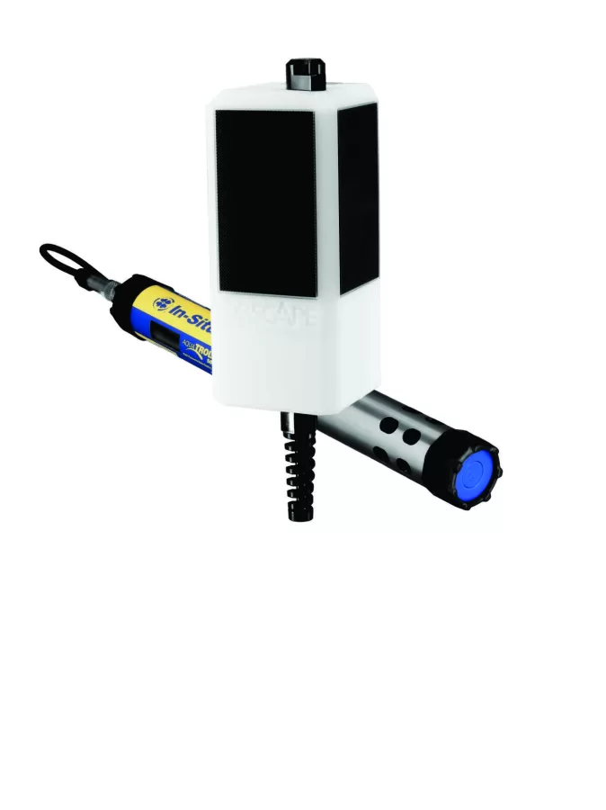
Combines solar power, data logging and telemetry with a compatible multiparameter sonde. Measurements can include turbidity, salinity, pH, temperature, pressure and dissolved oxygen, depending on the sensor. For a water quality buoy deployment, specify the sonde, buoy platform and mooring together. Sensors are selected separately; satellite telemetry is optional.
Datasheet (PDF)