Oceanographic Measurements and Hydrographic Surveys
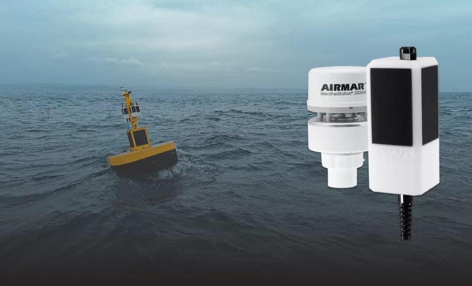
Kordil provides oceanographic measurements, hydrographic surveys and metocean systems for coastal and marine projects. We measure and assess currents, waves, water levels, weather and water quality to suit your project requirements.
Request a survey quotation +90 (216) 344 68 35
A measurement programme tailored to your project
Marine data requirements for ports, marinas, fishing harbours, jetties, breakwaters, quays, reclamation works, pipelines and outfalls are planned around the site and the intended use of the results. We agree the observation period, station locations, sensor selection and deliverables when preparing the quotation.
Explore our services and equipment here, or visit the Kordil corporate website for our wider range of products and services.
Physical oceanographic measurements
We develop short- and long-term measurement programmes for marine infrastructure design, offshore construction and environmental monitoring.
- ADCP current speed and direction profiles
- Water level and tidal variations recorded by tide gauges
- Wave height, direction and period
Meteorological measurements
Suitable weather sensors can be included in the same monitoring programme to assess atmospheric conditions alongside marine observations.
- Wind speed, direction and gust speed
- Air pressure and temperature
- Relative humidity and dew point
Water quality and multiparameter measurements
Depending on the study objectives and sensors selected, physical, chemical and optical water properties can be monitored using vertical profiles or fixed stations.
- Conductivity, temperature, depth, salinity and density
- Turbidity, pH and dissolved oxygen
- Sound velocity profiles
- Optical parameters associated with chlorophyll-a, phycoerythrin and dissolved organic matter
The parameters, suitable instruments, sampling interval and data delivery format are agreed before fieldwork begins.
Kordil Oceanographic Systems
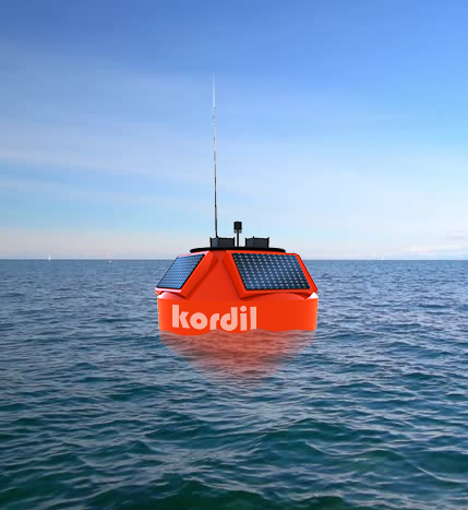
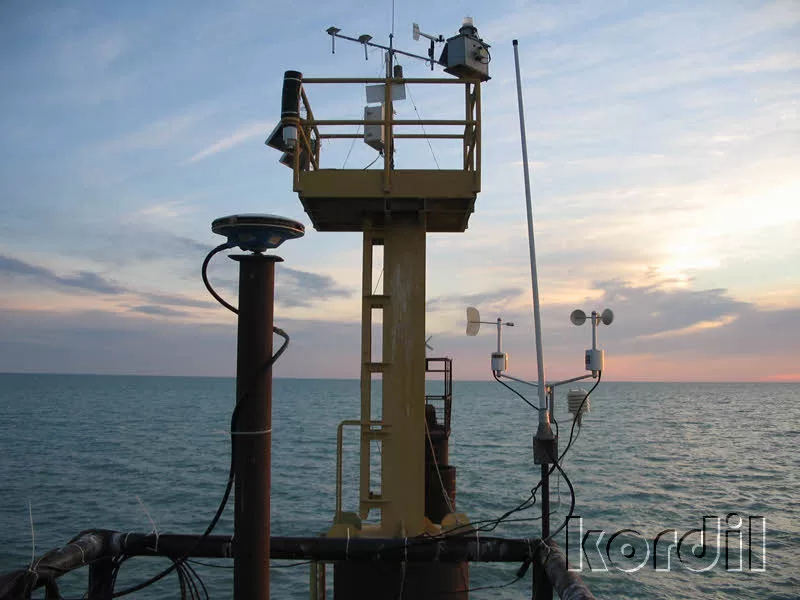
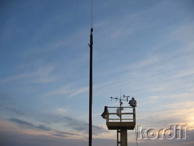
Kordil MetOcean System: an integrated meteorological and oceanographic buoy
Reliable meteorological and oceanographic observations support the assessment of marine conditions and the development of forecasting models. Fixed stations and monitoring buoys provide continuous records for long-term analysis.
We deploy real-time metocean stations on the coast and on marine buoys, with data logging and remote access through suitable communications links.
Parameters available with appropriate Kordil MetOcean sensors
- Water level
- Water temperature
- Wave direction
- Wave height
- Conductivity
- Relative and true wind speed at fixed and moving installations
- Maximum wind speed (gust)
- Air temperature
- Air pressure
- Relative humidity
- Position
- Dew point
The Kordil MetOcean system and software used in our measurement programmes are developed by Kordil.
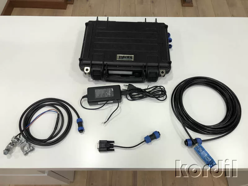
Kordil TG05 Tide Gauge Water Level and Tide Monitoring System
Kordil TG05 is a compact water level monitoring and logging system designed for low power consumption and straightforward installation across a range of applications.
The system supports water level monitoring in coastal waters, reservoirs, natural and artificial lakes, rivers and water storage tanks and other suitable environments.
Users can view the collected data through the Kordil TG05 software interface on a single screen. The system also provides access to log files containing $KORDIL messages for further analysis.
Applications
-
Bathymetric, hydrographic and oceanographic surveys: water level data logging
-
Offshore platforms and water tanks: level monitoring
-
Navigation safety: water level observations
-
Mean sea level: determination and long-term observations
-
Wave height and harbour agitation studies: data collection, subject to the sensor and sampling configuration
Oceanographic Buoy Systems
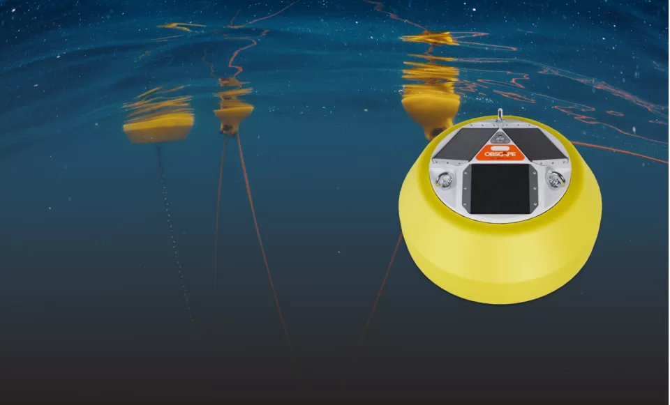
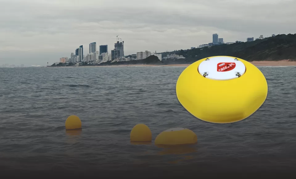
Obscape oceanographic buoy systems and sensor components:
Thesesystems support marine construction, dredging and reclamation operationsby providing wave height measurements to inform operational planning and site-specific working limits.
They also support aquaculture operators by monitoring local currents, water quality, wind speed and other environmental conditions through real-time online access within an integrated monitoring solution.
For port and shipyard operators, the system provides real-time sea-state measurements to support vessel traffic planning and safe navigation and operational decisions.
For remote or hard-to-access sites,integrated camera systems can provide visual records.
The systems are designed for straightforward installation, with maintenance requirements determined by the equipment and deployment conditions. The web interface allows authorised users to access the data securely online.
Available monitoring functions include:
- Wave monitoring (wave height, direction and period)
- Water quality monitoring
- Meteorological monitoring
- Visual asset monitoring
- Water level monitoring